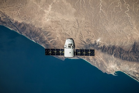
The data from this satellite will be used for meteorology, environmental monitoring, urban planning, mineral exploration, and disaster management, among others.
 Uganda is preparing to launch its first satellite in September 2022. The satellite, PearlAfricaSat-1, is the latest mission from the Joint Global Multi-Nation Birds Satellite project.
Matia Kasaija, the minister of finance, planning and economic development, said that the launch will be in collaboration with the US National Aeronautics and Space Administration.
The station, located at the Mpoma facility where Uganda already has two antennas, will serve as the operations and communications centre for satellites launched by the government and universities. The existing antennas are associated with Intelsats Atlantic Ocean and Indian Ocean satellites.
Uganda has already invested significant resources to develop the technology. The country has committed $2m for technology, research, and development and another $200,000 to improve infrastructure at Mpoma.
Uganda signed the collaborative research agreement with the Kyushu Institute of Technology (Kyutech), Japan. The agreement involved enrolling and upskilling three graduate engineers to design, build, test, and launch the first satellite for Uganda.
The core missions for PearlAfricaSat-1 are a multispectral camera payload. The Multispectral Camera mission will provide about 20-metre resolution images for Uganda to facilitate water quality, soil fertility, and land use and cover analysis. The satellite will play a vital role in the oil and gas operation by monitoring the East African crude oil pipeline. This will enable accurate weather forecasts by gathering remote sensor data for predicting landslides and drought. Once the satellite reaches orbit, an Uganda ground station will monitor its health status for a few days before it starts executing its mission.


